File:Kutawagen-Lake-2.png
From Crooked and Round Lakes Committee
Size of this preview: 800 × 578 pixels. Other resolution: 1,206 × 871 pixels.
Original file (1,206 × 871 pixels, file size: 274 KB, MIME type: image/png)
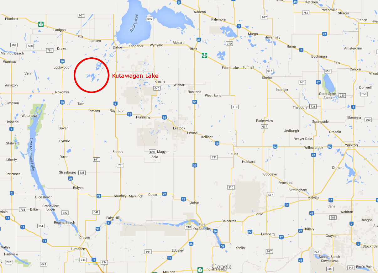
Another map of the Qu'Appelle Watershed with Kutawagan Lake circled.
File history
Click on a date/time to view the file as it appeared at that time.
| Date/Time | Thumbnail | Dimensions | User | Comment | |
|---|---|---|---|---|---|
| current | 15:04, 17 August 2015 | | 1,206 × 871 (274 KB) | Tyler (talk | contribs) | Another map of the Qu'Appelle Watershed with Kutawagan Lake circled. |
- You cannot overwrite this file.
File usage
There are no pages that link to this file.