Difference between revisions of "File:Qu'Appelle Watershed.jpg"
From Crooked and Round Lakes Committee
| Line 1: | Line 1: | ||
A detailed map of the Qu'Appelle watershed, courtesy of Alanna Pryke. | A detailed map of the Qu'Appelle watershed, courtesy of Alanna Pryke. | ||
[[category:Diagrams]] | [[category:Diagrams]] | ||
| + | [[category:Kutawagan Lake]] | ||
Latest revision as of 15:01, 31 August 2015
A detailed map of the Qu'Appelle watershed, courtesy of Alanna Pryke.
File history
Click on a date/time to view the file as it appeared at that time.
| Date/Time | Thumbnail | Dimensions | User | Comment | |
|---|---|---|---|---|---|
| current | 13:50, 17 August 2015 | 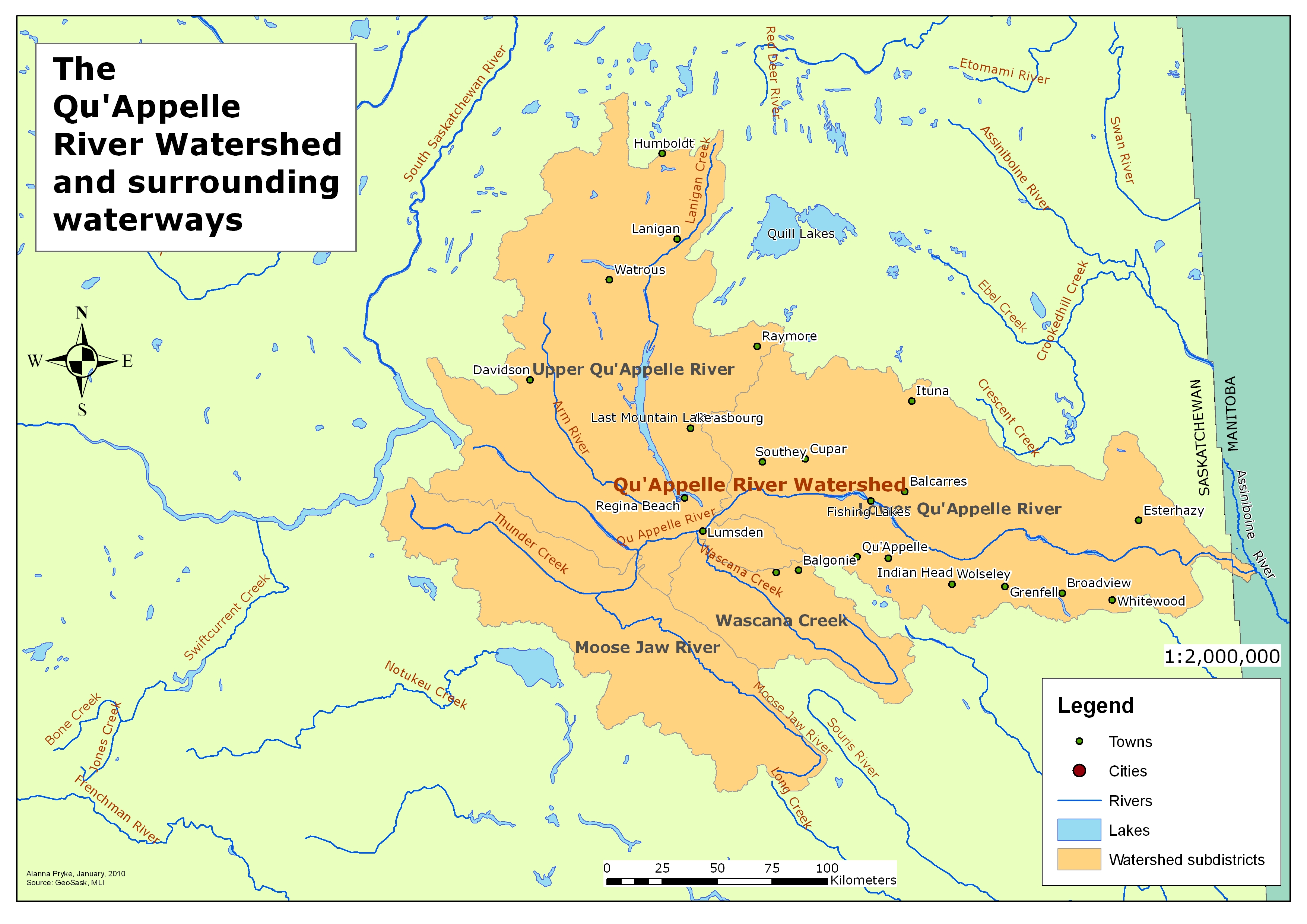 | 3,509 × 2,481 (2.18 MB) | Tyler (talk | contribs) | A detailed map of the Qu'Appelle watershed, courtesy of Alanna Pryke. |
- You cannot overwrite this file.
File usage
There are no pages that link to this file.